The Sand Flats &
the Slickrock Bike
Trailhead…
1981 & 1995
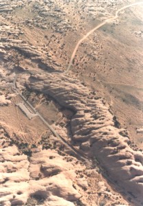
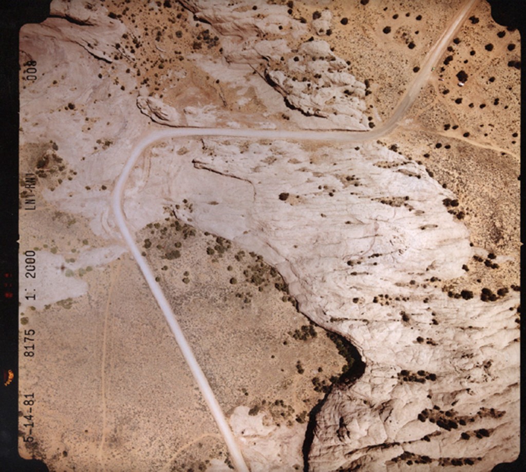
In the early 198s, soil scientist Lynn Fenstermaker conducted soil tests near the Sand Flats above Moab. At the time, there was scarcely any human presence and her soil transects were established to determine the impact of cattle grazing on the local vegetation and soil. The aerial photo dated 5-1-81 shows the status of the land as it appeared then.
Less than 10 years later, the empty Sand Flats had been transformed into one of the most popular mountain bike trail in the United States. Human impacts were so striking, they all but obliterated Fenstermaker’s study area.
The second photo as shot in 1995…JS

Don’t forget the Zephyr Ads! All links are hot!
To read the PDF version of this article, click here.


