<<Prev Home PDF Next>>
The Tellin’ Takes Me Home
Remembering The Canyon Country...#3
By Jim Stiles
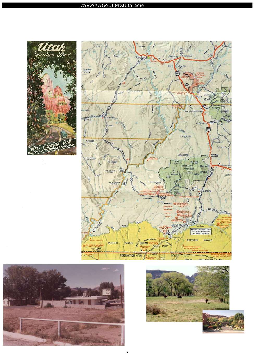
The Offcial 1951 Utah State Highway Map...
The highway from Moab was only paved to the bottom of Peter’s Hill.
Glen
Canyon was still there and no one had heard of Lake Powell. Travelers
on State Route 95 crossed the Colorado River by ferry.
Sixty years ago.
NO DAVE’S? Until
the “Go-fer” Food Mart was built in the 1970s, the corner of 400 East
and Mill Creek Drive was an empty lot and Milt had a clear view of
Moab’s West Wall...
AND ACROSS THE STREET?
Until the mid-90s, the Mill Creek Pueblos was a horse pasture.
<<Prev Home PDF Next>>