An excerpt:
Gaze at a map of Colorado. Even if it’s a run of the mill road atlas, there will be plenty to see. Wide swaths of National Forest and a few National Parks and Monuments show up in various shades of green, a sign of topography and scenery. Blue lines of rivers flow from the center of the state like spokes of a wheel, and their names are well known: Platte, Rio Grande, Arkansas, Colorado. The eastern half appears to be dull, but the straight roads and lack of forest signifies the spartan beauty of the high plains, a fertile part of the state where the buffalo once roamed. The names of historic locales dot the map—Cripple Creek, Leadville, Central City—along with the names of historical personages like Carson, Pike and Cortez.
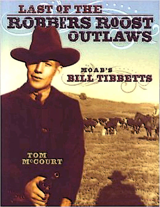
To read more of Charles’ article, click the image below:
http://www.canyoncountryzephyr.com/2013/12/02/gold-fever-redux-by-charles-clayton/


0 Responses
Stay in touch with the conversation, subscribe to the RSS feed for comments on this post.